

CHICAGO. RAND-MCNALLY VEST POCKET MAP SHOWING STREETS, TRANSPORTATION LINES, PARKS, PUBLIC BUILDINGS, ETC.
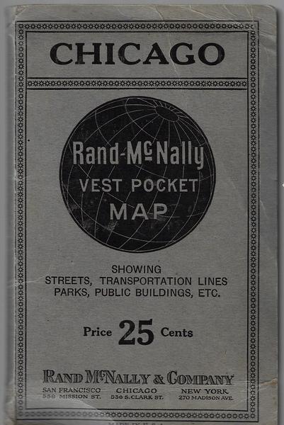
RAND-MCNALLY & COMPANY. Chicago: Rand-McNally & Company, n. d. (ca 1917). First edition thus. 6 1/4" x 4" printed stiff wrappers, contains a full-color map, that opens to 30" x 30". Map folds into printed card covers. On the back cover is an advertisement for Rand-McNally Indexed Maps with Air Trails, with two military officers briefing a pilot in his bi-wing plane. An early promotion for the value of maps even while flying an airplane. Very good.
Price: $ 175.00
Item #: 2268
Publisher: RAND-MCNALLY & COMPANY
Edition: 1st
Pub. Year: c. 1917
Condition: vg